Project Name Global Positioning System (GPS) Field Mapping of Wetlands
Category Wetland Delineations
Challenge & Solution
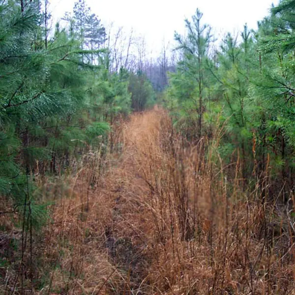
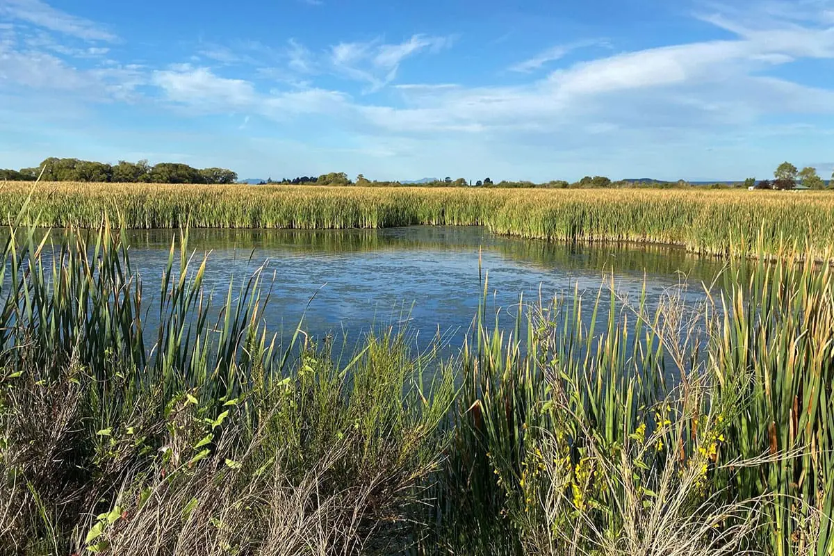
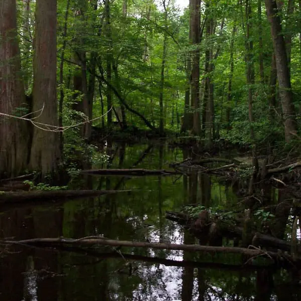
Stokes Environmental Associates, Ltd. (SEA, Ltd.) provided GPS mapping of the wetland delineation data stations and the wetland delineation lines flagged on this 168 acre tract in Isle of Wight County. The western edge of the tract lies near the top of the Suffolk scarp; therefore, wide areas of seep wetlands are present. Upland areas across the eastern edge of the tract caused the seeps to be concentrated into streams.
Specific tasks included:
Conduct a wetland delineation using nine transects, resulting in 31 data stations.
Hang flagging ribbon to mark the separation between wetlands and uplands, resulting in 12 separate wetland/upland lines across the site.
Mapped the data station locations, and the wetland/upland lines with a hand held Garmin GPS unit.
Reduced the GPS data to a form that allowed the creation of a wetland delineation field map, including the areas represented by the resulting polygons.
Generate an Excel file of the data that provides a survey crew with detailed information they can use to precisely map the wetland/upland lines.
Our Process
Stokes Environmental provided key environmental expertise to delineation wetlands on the site, and provide field mapping that is useful in preliminary site planning as well as providing surveyors with information to expedite their work. By providing a multitude of environmental services for project planning, SEA, Ltd. was able to fit related pieces together in an efficient and professional manner.